-
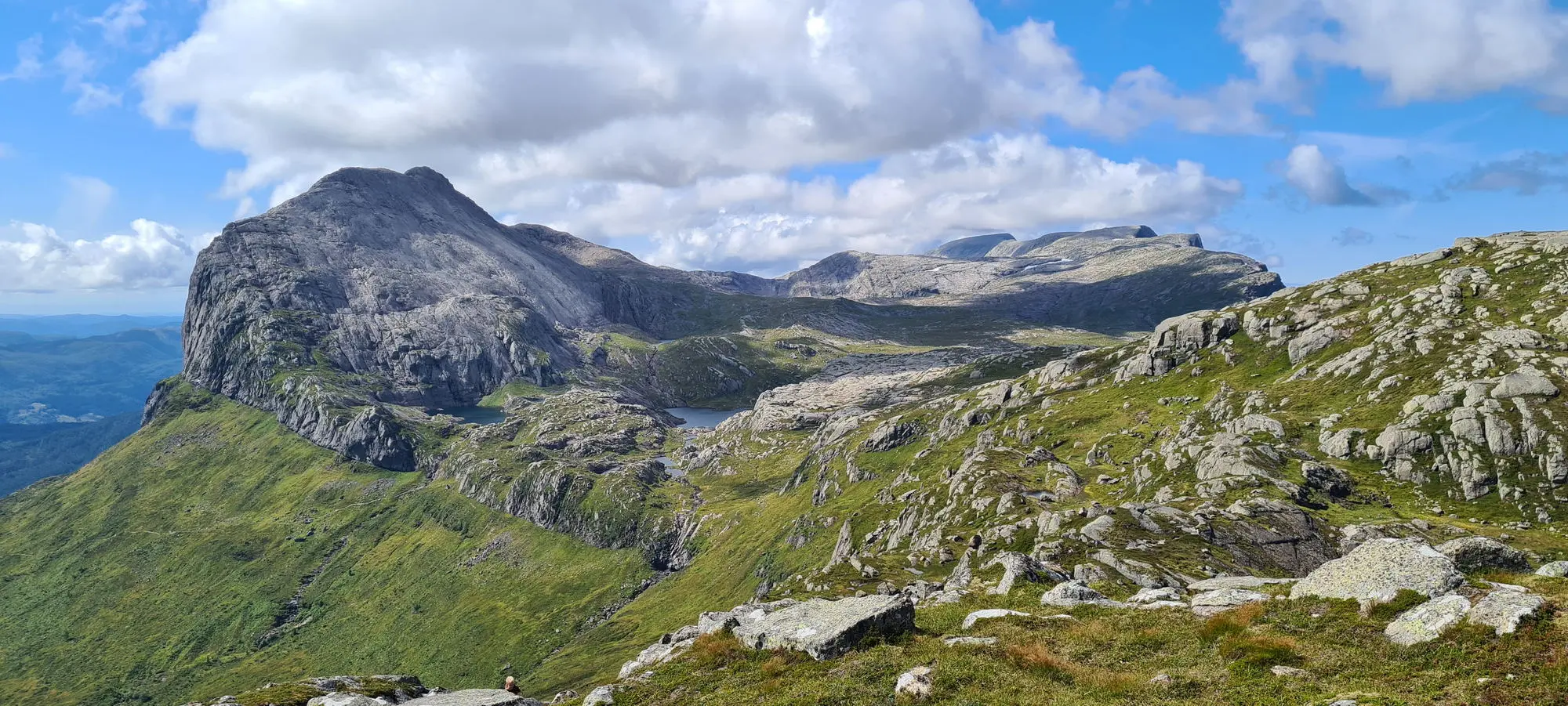
Storehesten (Kvamshesten)
This is a spectacular hike to the summit of Storehesten, which rises 1209 metres above sea level. The route begins in the lowlands and passes through a strongly deformed rock called mylonite. This rock formed in a shear zone several kilometres wide, the Nordfjord–Sogn detachment zone, which extends up towards the Dalsfjord fault. The fault…
-
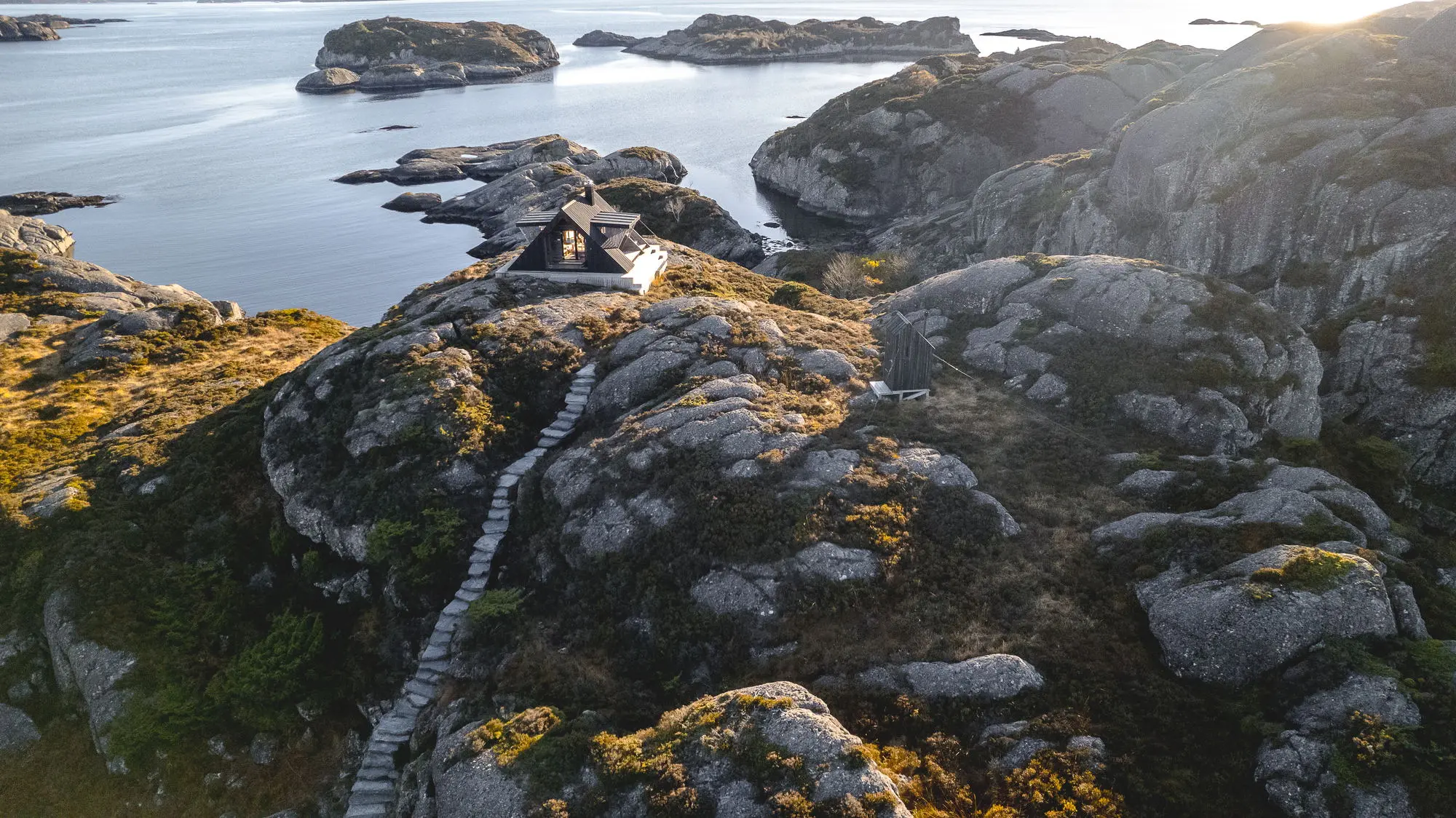
Sognesjøhytta
The day-use cabin in Solund municipality, Sognesjøhytta, is located south of Hardbakke, near Hops-osen, and offers a fantastic view of Sognesjøen. The cabin is situated about 15 metres above sea level and lies 3 kilometres from the parking area. If you start your walk from the centre of Solund, you should allow about one hour…
-
Ramnenipa
This hike is a favourite, especially among the locals. It begins through the residential area of Brattelia, near Hardbakke, before continuing along a path heading east. About half a kilometre into the walk, the path branches off from the main trail. Here, you must follow the markings through steep terrain up towards the summit. Since…
-
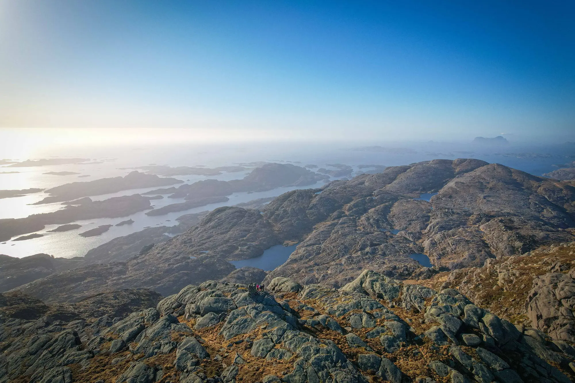
Pollatinden
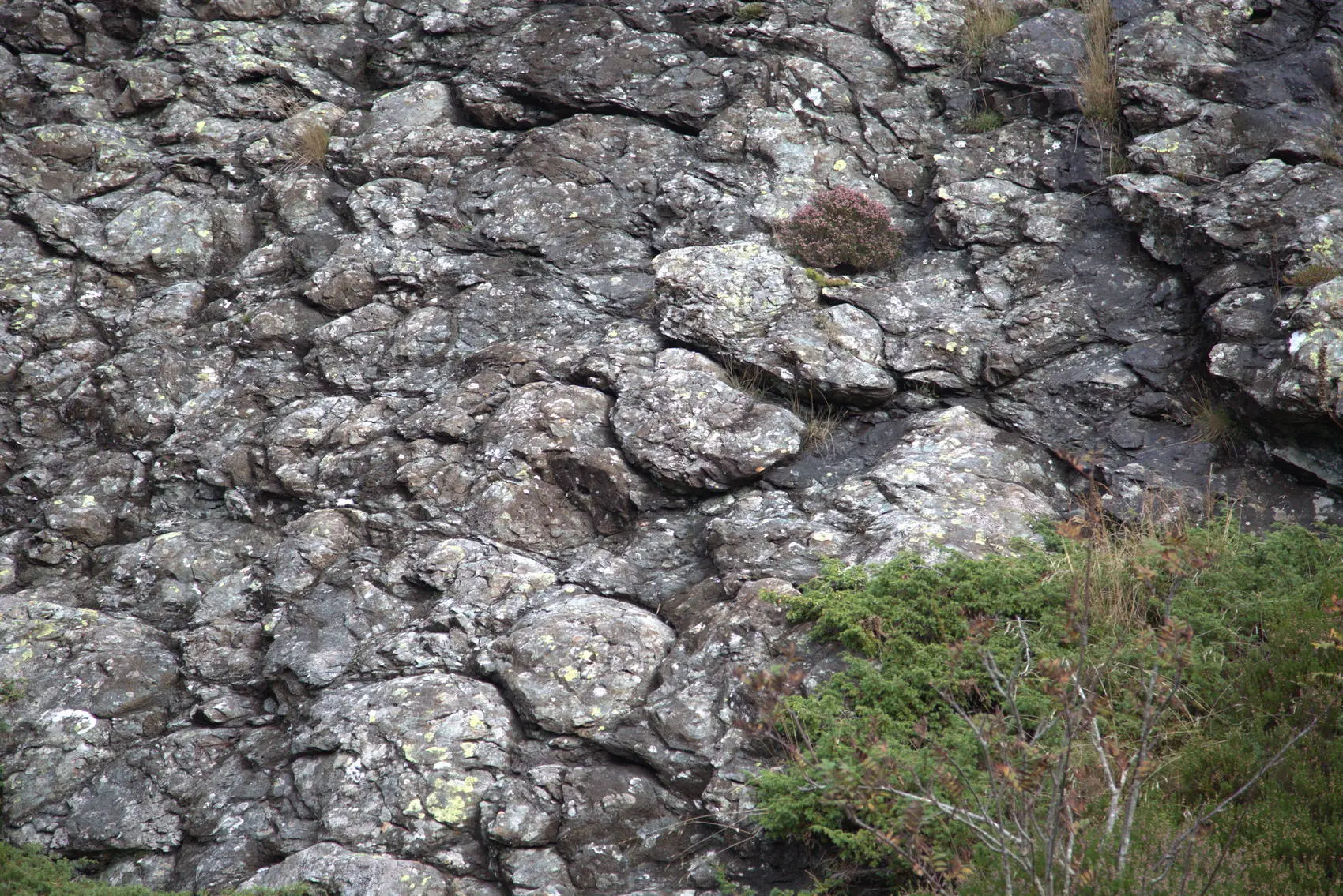
An essential mountain hike and a must for anyone visiting Solund. The adventure begins by the road, where a sawn surface of conglomerate bedrock is exposed, a geological attraction that is definitely worth observing. Here, you can study how the mountain alternates between sandstone and conglomerate. As you walk up towards the summit, the trail…
-
Skognipa
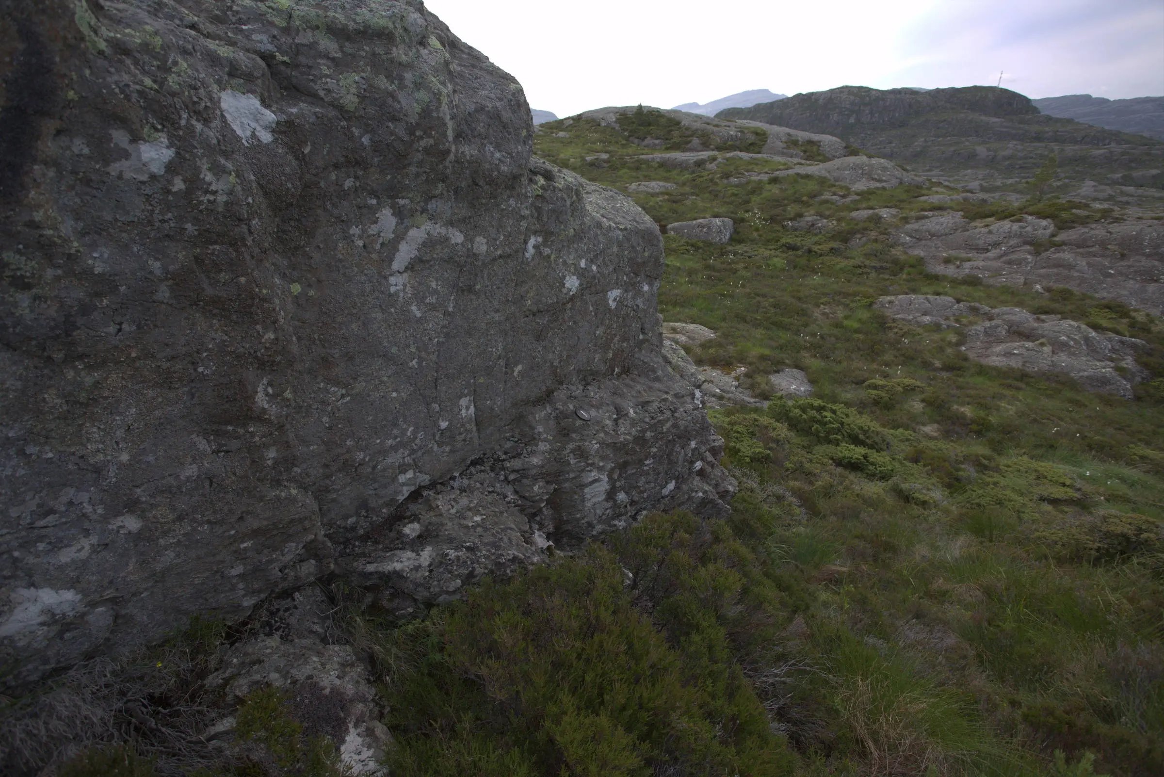
This locality shows gigantic blocks of volcanic rocks in the Devonian basin. The rocks are not remnants of a volcano that intruded into the basin. Instead, they are the result of one or more enormous rockslides, often called the Hersvik slide, which took place about 400 million years ago. Some of the slide blocks are…
-
Stroka
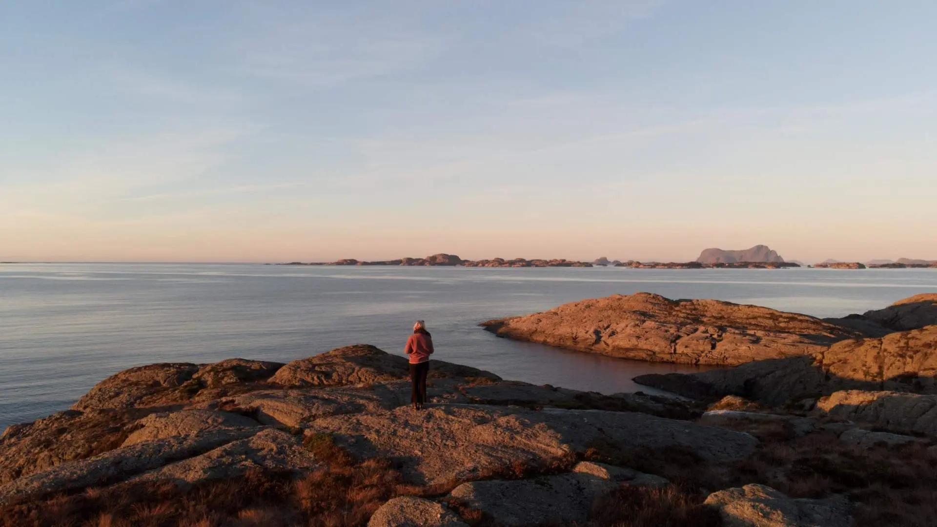
If you would like to experience a truly magical sunset, the sunset bench at Stroka, near Avløyp, is a perfect place to visit. From the main road, follow a marked path for about 15 minutes before you reach the viewpoint. Here you can sit down and enjoy the peace as the sun sets into the…
-
Lågøystolane
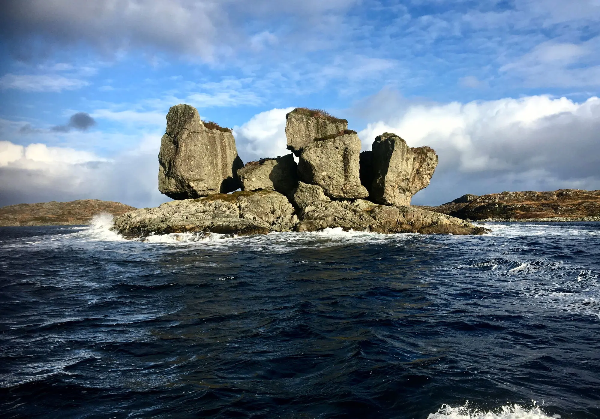
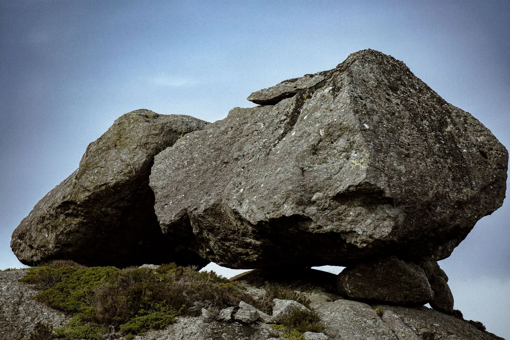
The famous Lågøystolane consist of large glacial erratics of conglomerate resting on bedrock that originally formed on the seafloor, that is, on what was once oceanic crust. The erratics were transported here by the ice during the last Ice Age, about 12,500–11,600 years ago. When the glacier melted and retreated, the large stones were left…
-
Steinsundøyna
On Steinsundøyna, both along the road and out in the terrain, you can notice large stones, often several tens of cubic metres in size. They are scattered across the landscape, yet still form a distinct belt about 1–2 km wide and nearly 15 km long, oriented north–south. These stones mark the westernmost extent of the…
-
Ytrøyna
A walk northwards along the road eventually reaches Olavatnet. Here lies the contact between the conglomerates in the south and the oceanic crust in the north. As we continue northwards through these beautiful surroundings, we see that the oceanic crust mainly alternates between thick sequences of lava flows and pillow lava. Large, fine pillow-lava formations…
-
Utvær
Utvær is Norway’s westernmost island and is located in Solund municipality. The island is home to Utvær lighthouse, which has been in operation since 1900. As of 2026, there is no permanent population on Utvær, but the island is used as a holiday destination during the summer. In winter, Utvær is mainly inhabited by gulls,…