-
Listraumen
This is a fine and important place to study the light-coloured rock granodiorite. The rock formed deep in the Earth’s crust in a so-called island-arc volcano in the ancient Iapetus Ocean.
-
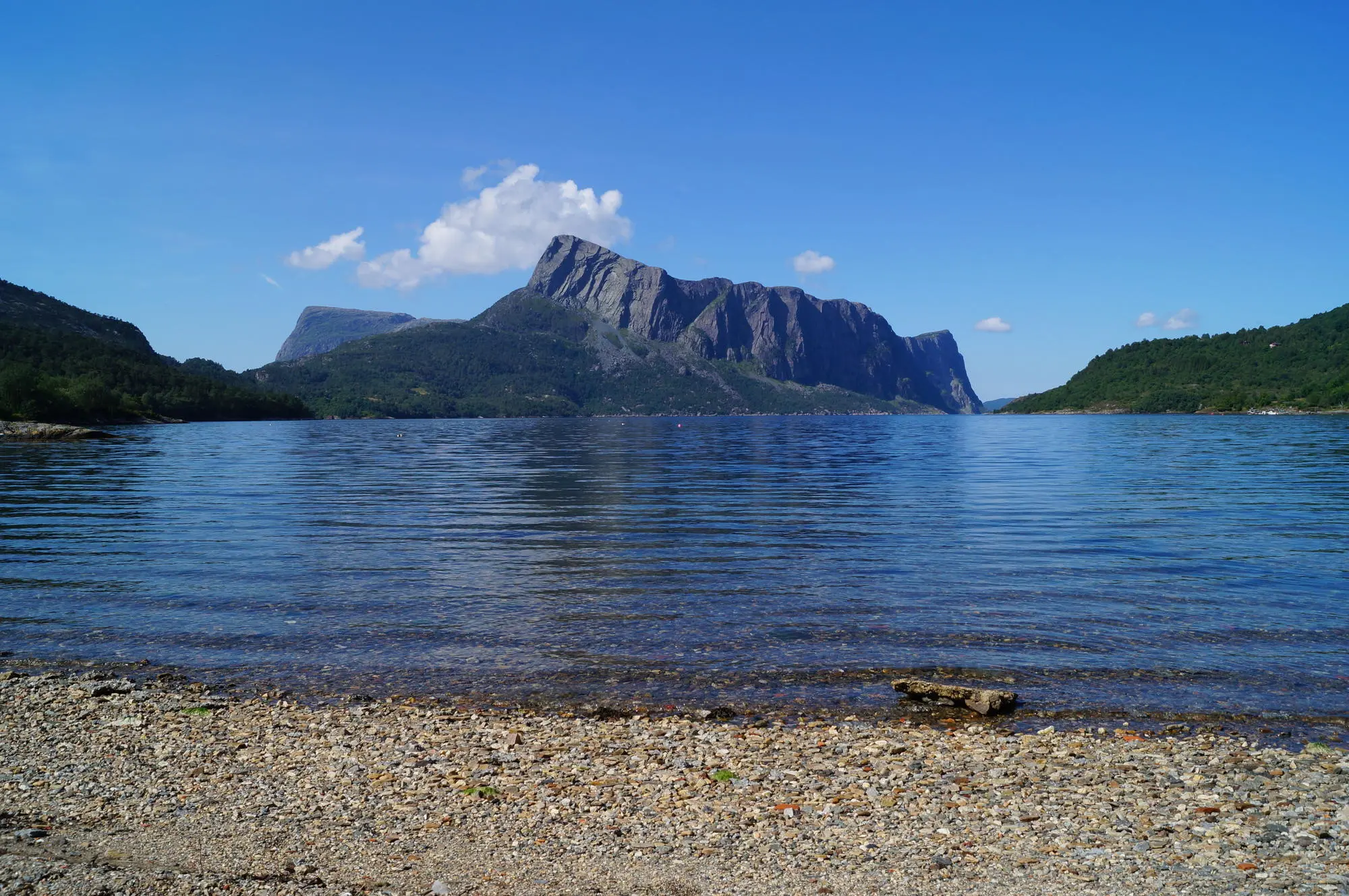
Risnesnipa
Risnesnipa is a classic mountain summit in western Norway, with many good rock exposures and wide views across the landscape. This is one of several hiking trails that lead from mylonitic rocks in the Lifjord complex, across the Nordfjord–Sogn detachment zone and further up through the Devonian conglomerates. From the top, the view is impressive…
-
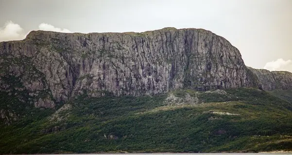
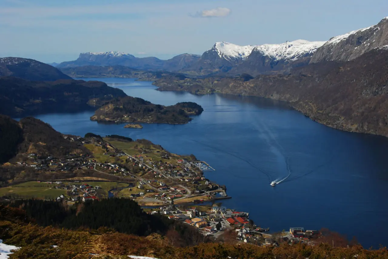
Lihesten-Gygrekjeften
The mountain Lihesten consists of Devonian conglomerates and is separated from the underlying mylonites by the Nordfjord–Sogn detachment zone.Gygrekjeften can be reached via a path that passes through a pronounced cleft west of Lihesten. From the top there is a fine view over large parts of the region. On the way up, you cross the…
-
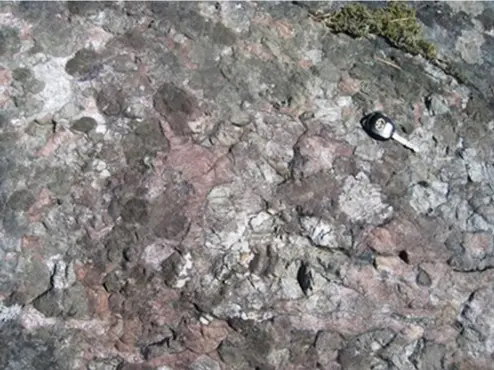
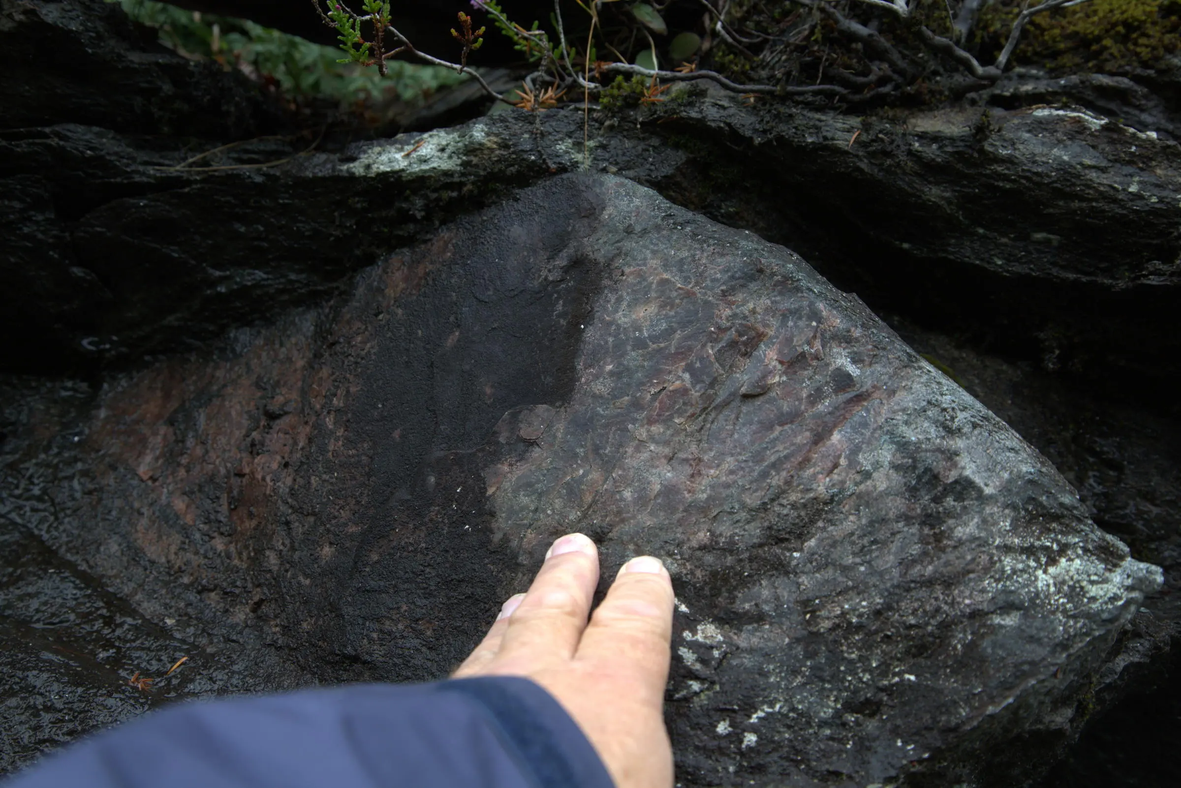
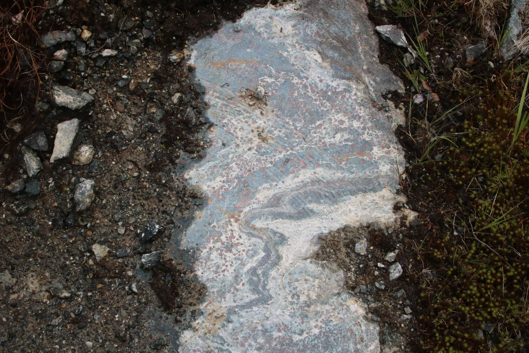
Holt Gard
This site contains a very coarse-grained rock that originally was gabbro. The crystals of plagioclase and pyroxene can be several tens of centimetres large. Later, the rock was transformed under high pressure deep in the Earth’s crust, and many of the original minerals were replaced by garnet and omphacite, minerals typical of eclogite.
-
Flekke
On geological maps, the centre of Flekke appears as a circular rock structure. The rock here originated in a very old gabbro complex that formed several hundred million years ago. The original rock was rich in the mineral olivine and formed deep in the Earth’s crust. Later, the rock was metamorphosed under high pressure and…
-
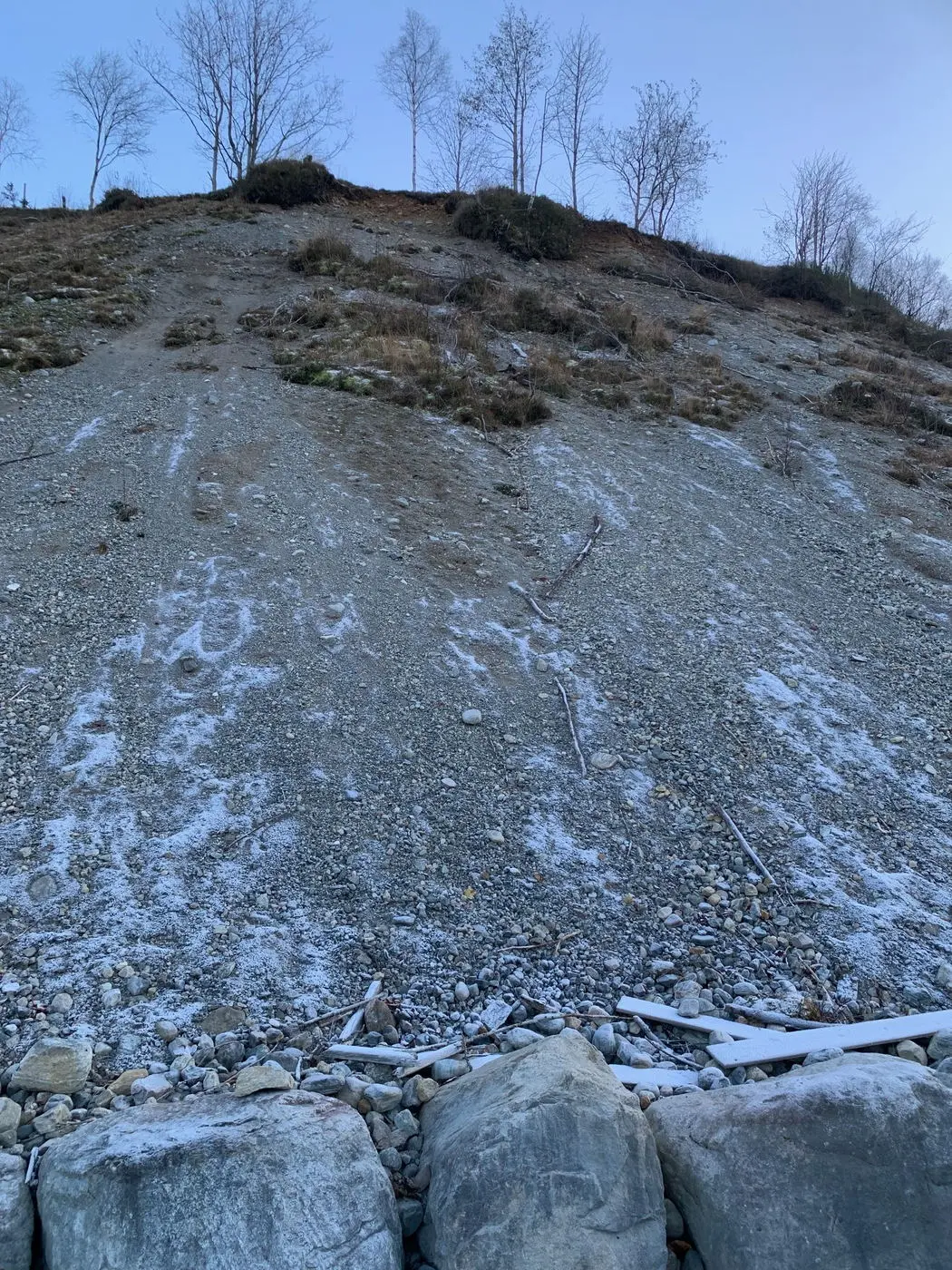
Loneland
This area is a good example of a glaciofluvial delta, formed by meltwater from the glacier towards the end of the last Ice Age. Rivers beneath and in front of the glacier carried sand and gravel, which were deposited where the meltwater flowed into the sea. At that time, the sea stood much higher than…
-
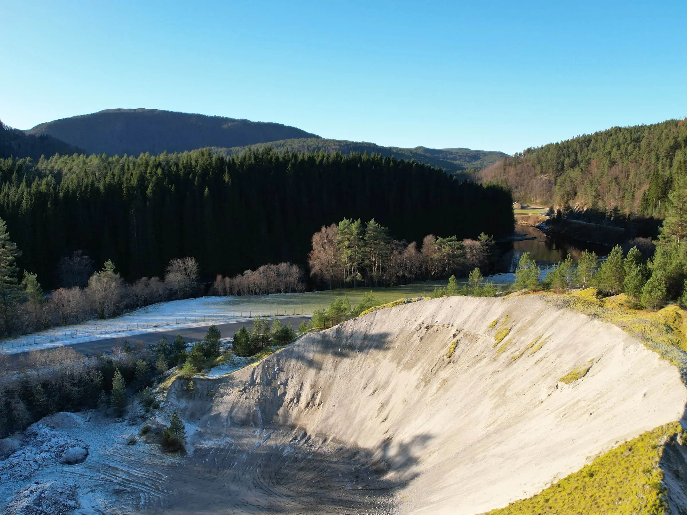
Dingemoen
Dingemoen is an ice-margin delta formed in front of the ice edge towards the end of the last Ice Age. Large meltwater rivers beneath the continental ice sheet carried sand and gravel that were deposited where the rivers met the sea.The top of the delta lies about 47 metres above sea level and marks the…
-
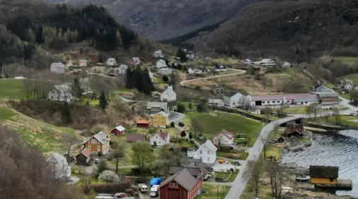
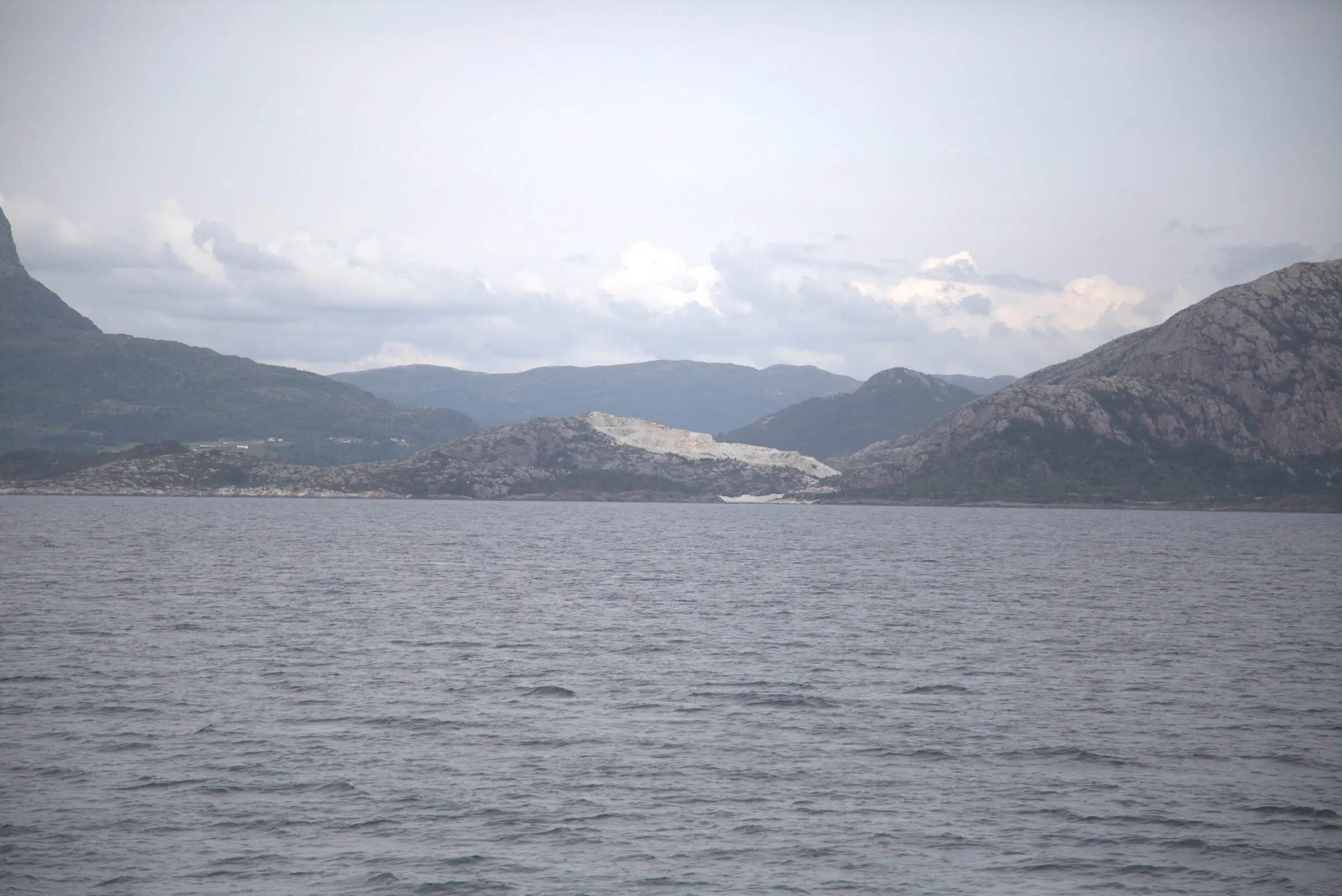
Stongfjorden
At the innermost part of Stongfjorden, the landscape is characterised by several flat surfaces at different levels. These steps are not as clearly visible anymore, partly because of tall trees and houses. These steps are called terraces and are striking traces of former sea levels from the end of the last Ice Age up to…
-
Grønholten
A much-used hiking trail near Dale. The walk offers a particularly beautiful view over Dale and Dalsfjorden. In addition, it provides an excellent perspective on the Nordfjord–Sogn detachment zone, showing the Dalsfjord nappe lying above the steep, bare cliff on the north side of the fjord.
-
Saurdal
The Saurdal eclogite occurrence forms a ridge at the Saurdal farm, just west of Saurdalsvatnet near Gjølanger. On the southern slope of the ridge, a test project for eclogite as dimension stone was carried out in the early 1990s. Southwards, the eclogite occurrence passes into a chlorite-rich garnet amphibolite containing massive layers of ilmenite-magnetite ore.…